Expedition Overview
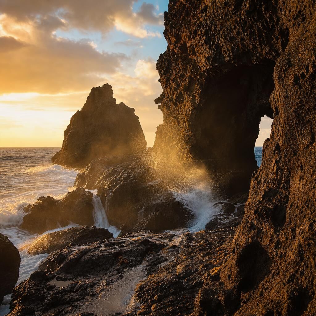
The north coast of Puerto Rico between Arecibo and the karst limestone formations is one of the Caribbean's least-photographed geological landscapes. Cueva del Indio delivers 2,000-year-old Taíno petroglyph walls wet with sea spray, where the Atlantic cuts through volcanic basalt at wave level — accessible at low tide for 90 minutes before the swell returns. The Arecibo Lighthouse rises 46 meters above a coastline where trade winds have sculpted the ironshore into channels and tide pools that change with every swell. Neither location behaves the same twice.
{leader_name} approaches Arecibo without the postcard viewpoint — working from the water's edge on the ironshore, reading the swell patterns before committing to a position, and finding the documentary tension between ancient carved stone and the living, relentless sea. The goal is photographs that feel like the coast actually felt, not like a travel brochure of it.
Expedition Itinerary
Day 1: Cueva del Indio — Petroglyphs and the Living Coast
The day begins at first light at Cueva del Indio, where 2,000-year-old Taíno petroglyphs cover walls 8 meters above current sea level — carved when the coastline was a different shape. Access timing is critical: low tide gives 90 minutes of safe entry before the Atlantic swell makes the ledge dangerous. After the cave, the morning transitions along the ironshore formations north of Arecibo, where basalt columns create natural frames for long-exposure seascapes as the trade wind swell moves through.
The Goal of the Day: Capture the relationship between geologic time and the present sea — use exposure length to transform the water into motion while keeping the carved stone perfectly sharp.
Day 2: Arecibo Lighthouse — Documentary Coast, Last Light
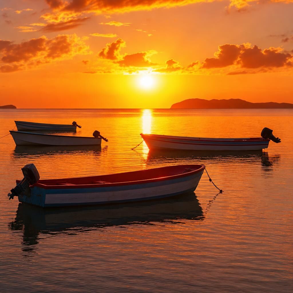
Morning covers the fishing community at the lighthouse base, where small-boat fishermen have worked the same reef channels for generations — a documentary session from 6am through mid-morning. The afternoon transitions to coastal landscape and seascape work from the elevated cliffs south of the lighthouse, where the angle of late-afternoon Caribbean light turns the Atlantic from green to copper in the final 40 minutes before sunset.
The Goal of the Day: Shoot the fishing community with the same formal attention you would give any documentary portrait series — find the dignity in the daily work before the light changes.
Book Your Expedition
Note: Final price may vary based on specific expedition details and customizations.
Expedition Leaders
José J. Rivera-Negrón is a Puerto Rican photographer whose work centers on resilience, human connection, and the documentary truth of places rarely photographed well. Born in Puerto Rico, his path to photography came through adversity — years that shaped fundamentally how he looks at light, at faces, and at the stories that ordinary streets contain. He shoots with the attention of someone who understands what it means to see a place clearly for the first time. A Light & Composition award-winning photographer with over 49 award recognitions including 4 Photo of the Month wins, he leads expeditions across Puerto Rico with the intimate local knowledge of someone who grew up on the island — knowing which beach is deserted at 5am, which street corner catches the right light, and which people will let you photograph them honestly.
What to Bring
Wide-angle zoom (16–35mm equivalent) for the cave interior and cliff compositions. Telephoto (200–400mm) for isolating lighthouse architecture and compressing the seascape. Polarizing filter essential for Atlantic water color. Strong ND filter (10-stop) for long-exposure wave work. Sturdy tripod with heavy ballhead. Waterproof dry bag — the ironshore access is wet. Water shoes or rubber boots. Microfiber cloths for sea spray on the front element.
Where Will Your Lens Take You Next?
Every horizon holds a new masterclass. Explore 68 worldwide fieldwork routes, interactive satellite maps, confirmed small-group departure dates, and regional optical dossiers.
Expeditions Overview & Master Map
Explore 68 worldwide expedition stops, interactive satellite coordinates, faculty leaders, and complete academic fieldwork curriculum.
Destinations & Lighting Specs
Examine comprehensive regional field dossiers detailing optical lighting conditions, microclimates, cultural protocols, and camera gear.
2026–2027 Departure Matrix
Search confirmed departure windows by season, country, and faculty leader. Small groups guaranteed with 4–8 photographers maximum.